Tracking the Brant
The Satellite Telemetry Project
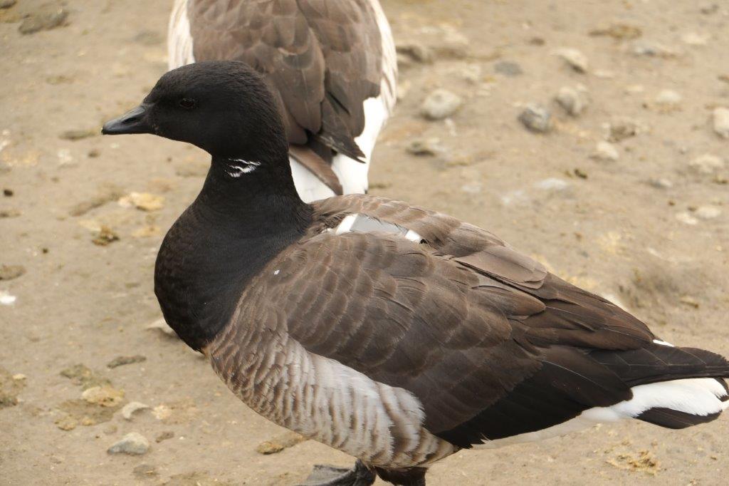
The northern Puget Sound area of Washington State and British Columbia supports wintering Brant Geese from two different taxonomic groups, Pacific Black Brant and Western High Arctic (WHA or gray-bellied) Brant. WHA Brant, which breed on the Parry Islands in the Canadian Arctic, are currently regarded as a separate stock rather than a separate subspecies. Early DNA analysis suggests that WHA Brant may be distinct from all other stocks in North America. If true, this makes it one of the rarest goose populations in the world.
Recent declines in the number of wintering Brant in northern Puget Sound have raised concerns for the health of this population. To address some important management priorities, a joint research effort involving the Canadian Wildlife Service (CWS), Washington Dept of Fish & Wildlife (WDFM), U.S. Fish & Wildlife Service (USFWS), U.S. Geological Survey (USGS), and Washington Brant Foundation (WBF) was initiated in 2000. Objectives of this research include: 1) determining the degree of genetic difference between WHA Brant and other Brant stocks, 2) identifying the links between breeding, staging, and wintering areas, and 3) describing habitat use patterns on the wintering grounds and at Izembek Lagoon, AK., an important fall and spring staging site.
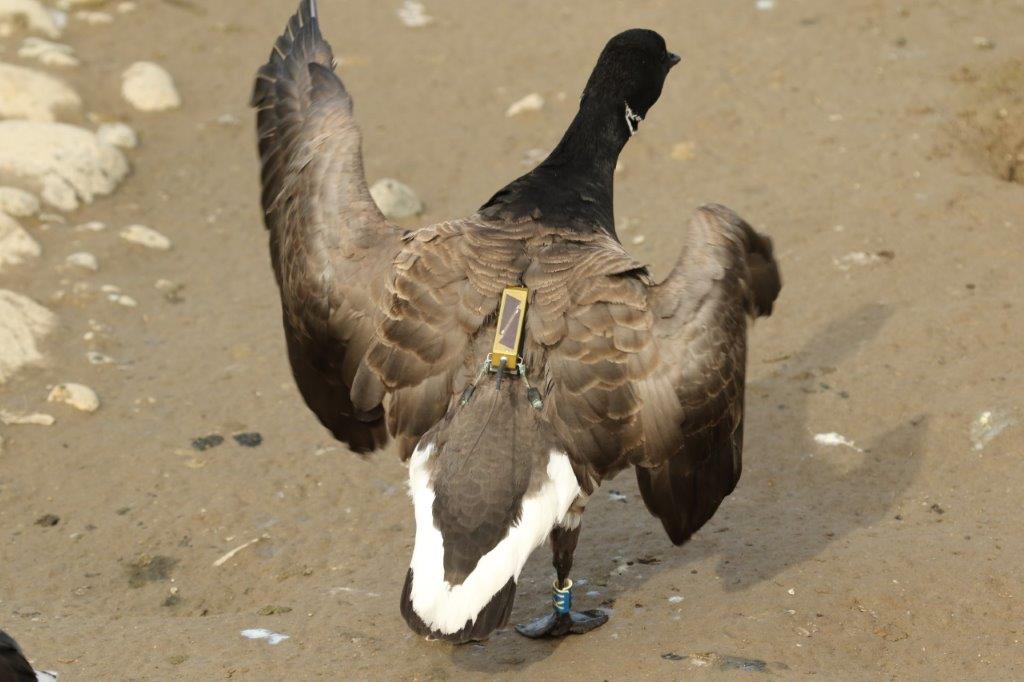
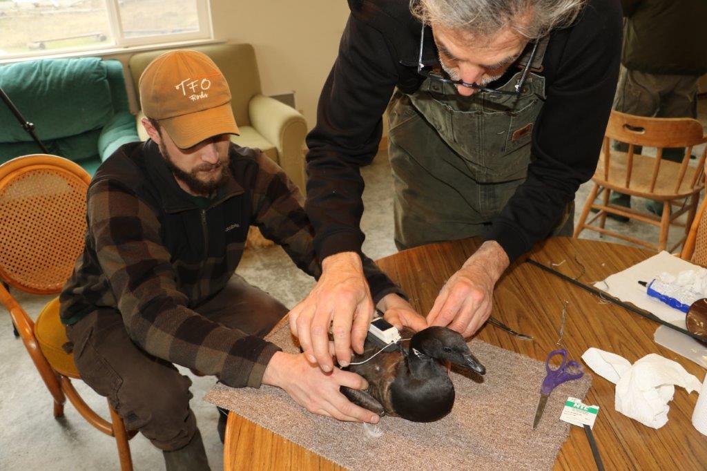
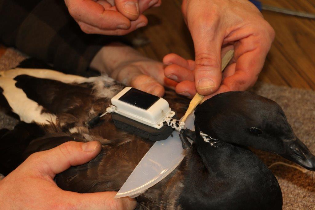
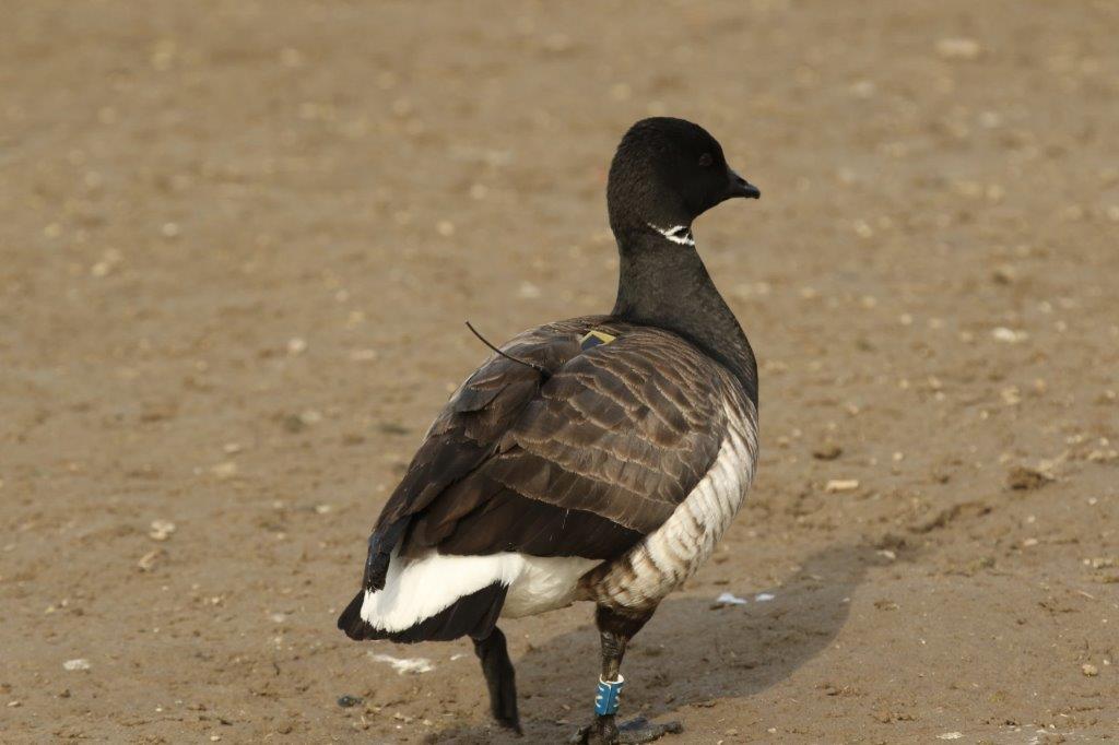
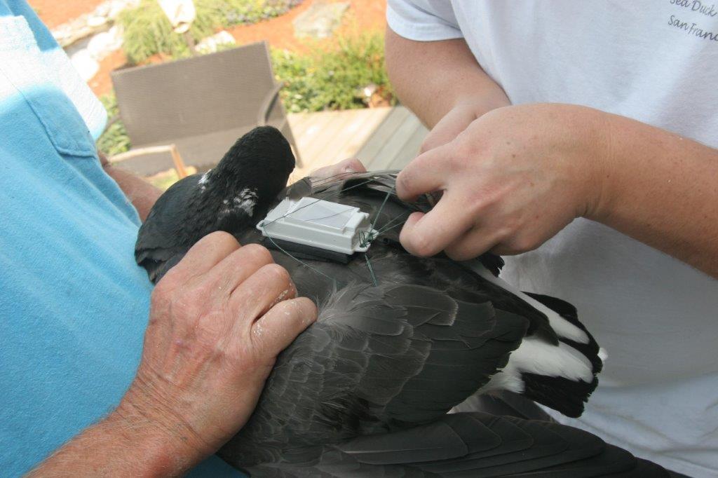
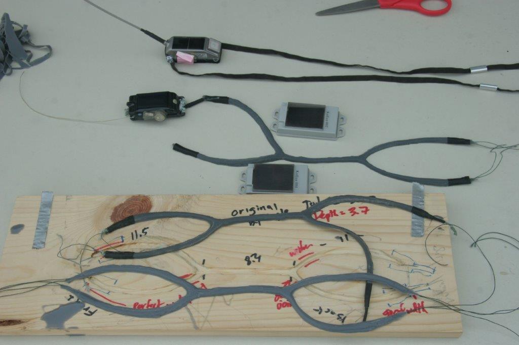
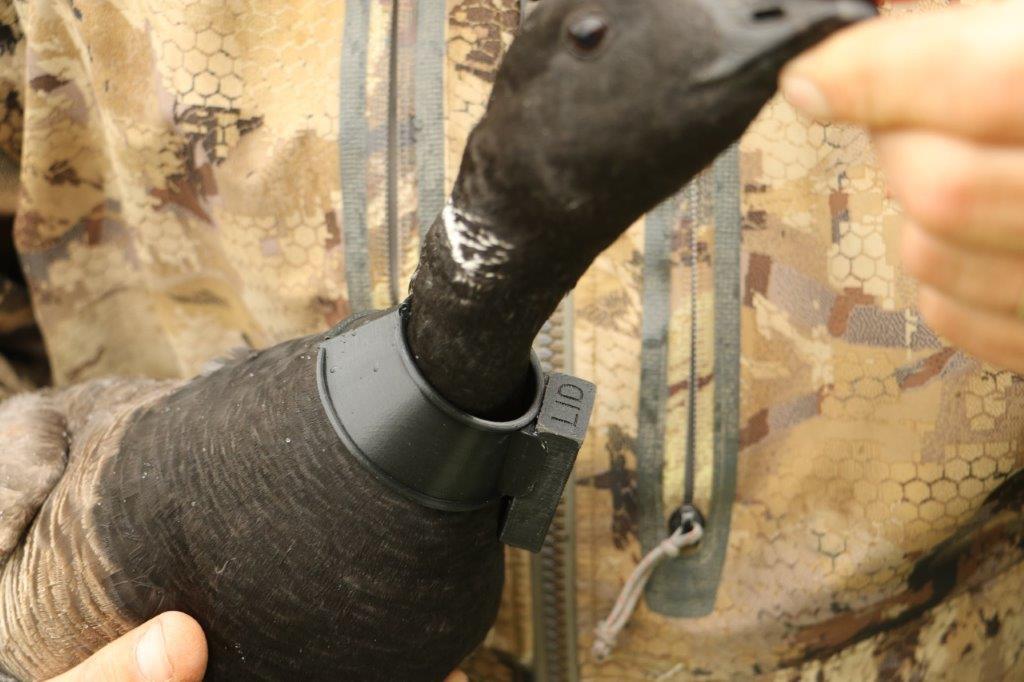
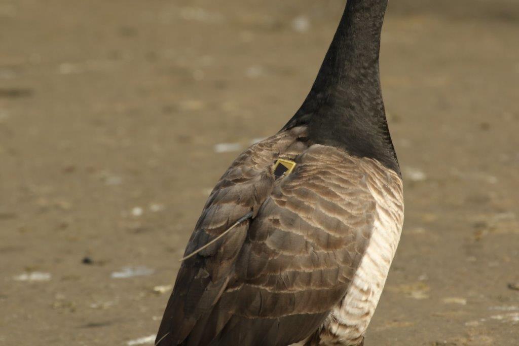
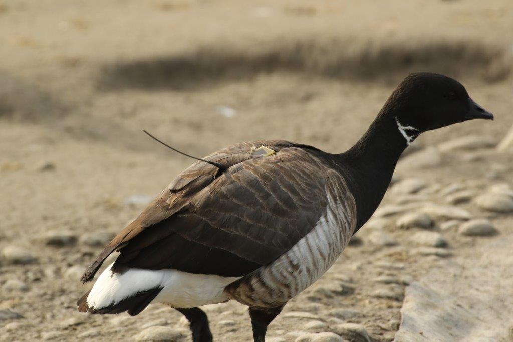
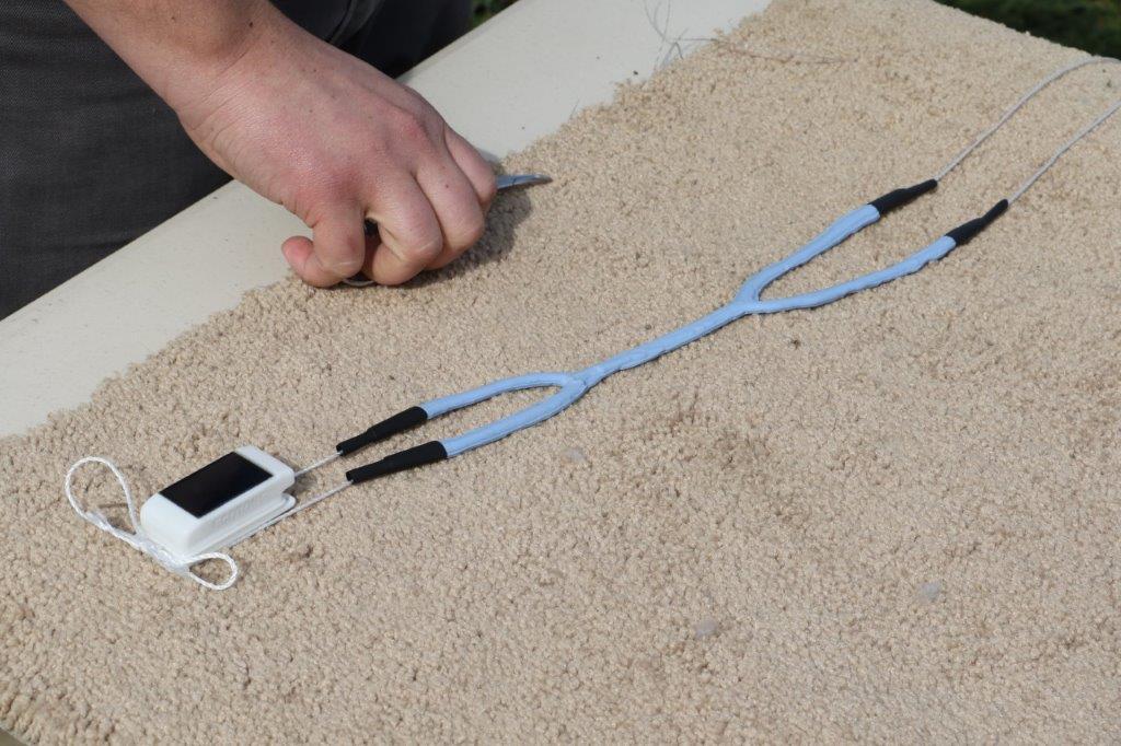
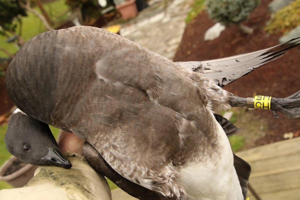
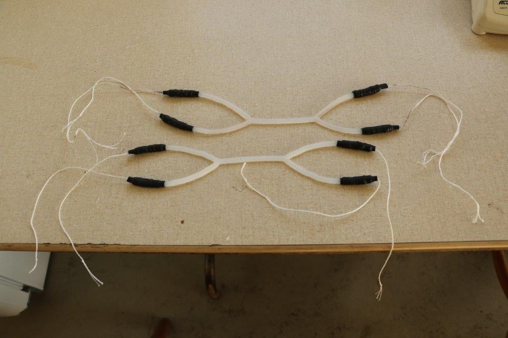
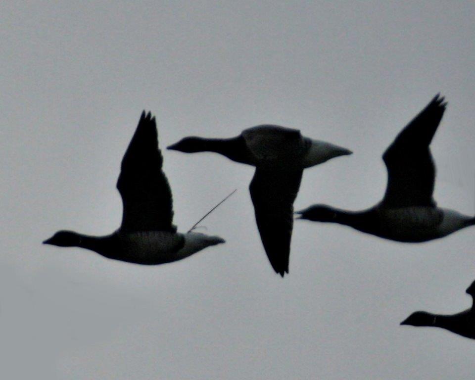
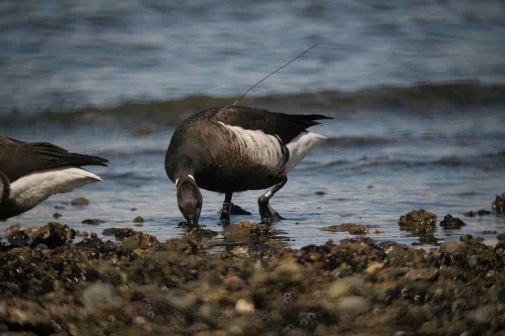
Following on previous WHA Brant capture efforts in 2000 and 2002, project personnel traveled to Melville Island, one of the Parry Islands, in early August 2005. More than 200 birds were captured in 6 different molt drives and tissue samples, photographs, weights, and measurements were collected from both breeding and moulting birds. Birds were marked with stainless steel leg bands and plastic tarsal bands to generate return and resight information. In addition, 20 adult males were implanted with satellite transmitters and 13 with conventional VHF radios.
The VHF-marked birds will be tracked at Izembek and in Puget Sound from ground stations to gather detailed location data. Data from the satellite-marked birds will be downloaded at regular intervals to gather location data over a large and inaccessible geographical area of N.A. and over the entire annual cycle. You can view the locations of the satellite birds in our “satellite tracking” section and see this spectacular migration (practically) in real time.
We gratefully acknowledge the support of the following organizations for this research:
Artic Goose Joint Venture
Canadian Wildlife Service
Washington Dept of Fish & Wildlife
U.S. Fish & Wildlife Service
U.S. Geological Survey
Polar Continental Shelf Project

